Converting Coordinate Systems and Formats for Datasets Using GDAL
11/2/23Less than 1 minute
Converting Coordinate Systems and Formats for Datasets Using GDAL
    gdal.AllRegister()
    val dataset = gdal.OpenEx("F:\\files\\shp\\1698817993242\\BGD.shp")
//    val spatialReference = SpatialReference();
//    spatialReference.ImportFromEPSG(4326);
//    val wkt = spatialReference.ExportToWkt()
//    println(wkt)
    val vector: Vector<String> = Vector();
    vector.addElement("-overwrite")
//    vector.addElement("-skipfailures")
    vector.addElement("-t_srs")
    vector.addElement("EPSG:4326")
    val vectorOption = VectorTranslateOptions(vector);
    gdal.VectorTranslate("F:\\files\\shp\\geojson\\BGD.geojson", dataset, vectorOption)
Note: The optional parameters are the same as ogr2ogr --long-usage.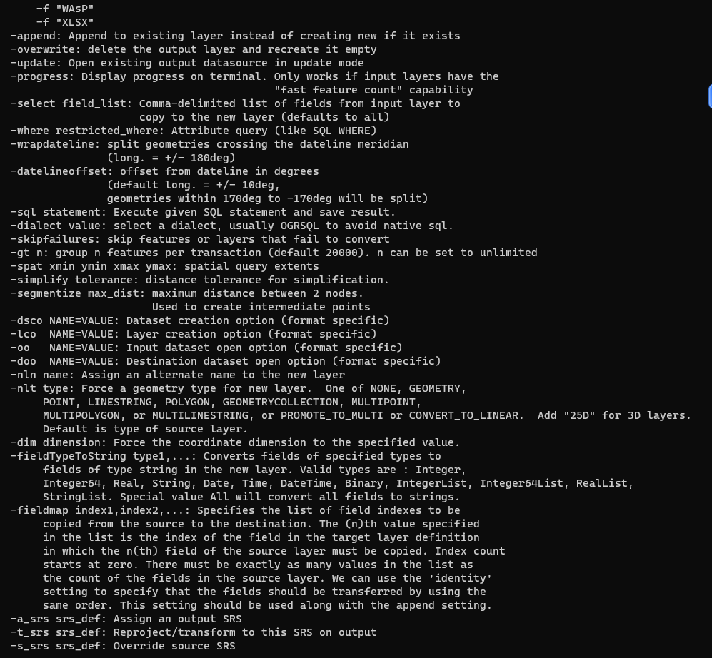
References
AI Translation | AI 翻译
This article was translated from Chinese to English by AI. If there are any inaccuracies, please refer to the original Chinese version.
本文由 AI 辅助从中文翻译为英文。如遇不准确之处,请以中文原版为准。